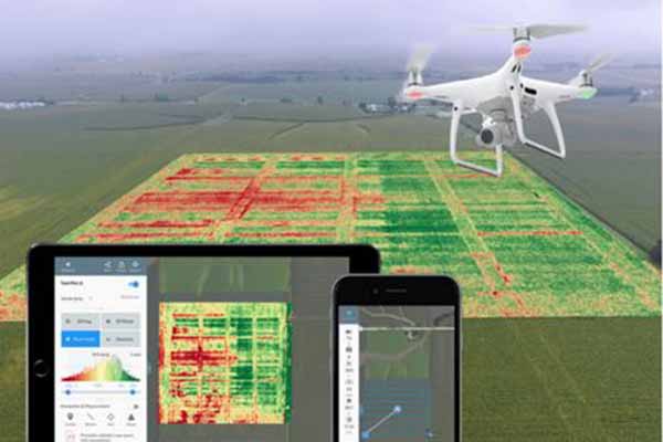
Geospatial information systems are greatly benefited from Drone GIS mapping. These tools give professionals an affordable, effective, and very accessible way to get geospatial data for a variety of purposes. Even though they have some drawbacks, more open legislation and ongoing technological advancement can help the industry to grow.
GIS mapping with the help of drones is cost and time effective when compared with the traditional approach. Costs of hiring aircraft, professional pilots, and others are eliminated with the help of drone utility in GIS mapping.
Get To Know More: https://www.factmr.com/report/drone-gis-mapping-market
This is one of the leading factors attributing to the demand for GIS mapping services. Moreover, these services are largely demanded in the agriculture and construction sector to offer substantial data relevant to the field to exhibit necessary decisions for improvement.
Key Takeaways from Market Study
- During 2023-2033, the market will expand with CAGR of 16.5%
- Among regions, East Asia exhibits fastest growth with CAGR of 17.5%
- Navigation mapping services holds about 38.0% of share in service type segment
- The global drone GIS mapping services market growth was about 8.1% during the historic period (2018-2022).
“Agriculture sector manifests potential demand in the drone GIS mapping market,” says a Fact.MR analyst.
Market Development
The GIS mapping services market is highly fragmented with the presence of various new & established market players in the industry. To stay ahead in the competition, these market players are taking favourable initiatives like service launches and mergers & acquisitions. Such initiatives are resulting in the enhancement of the global footprint of market players in the industry and significantly capturing the market share.


